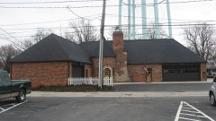
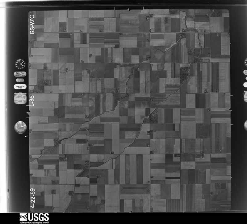
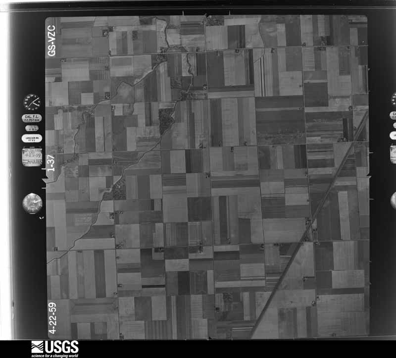
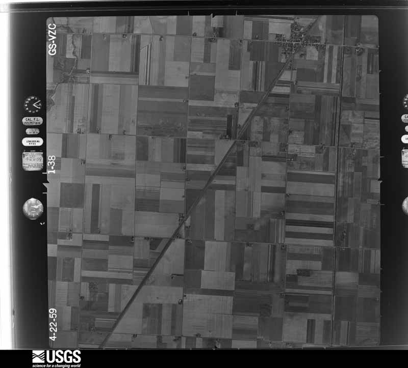
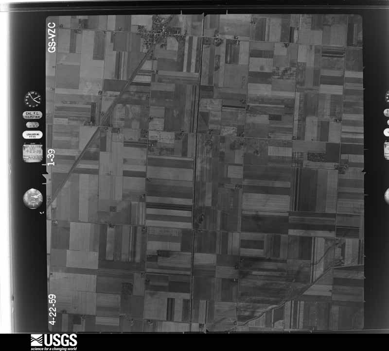
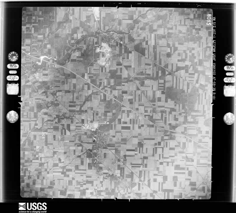
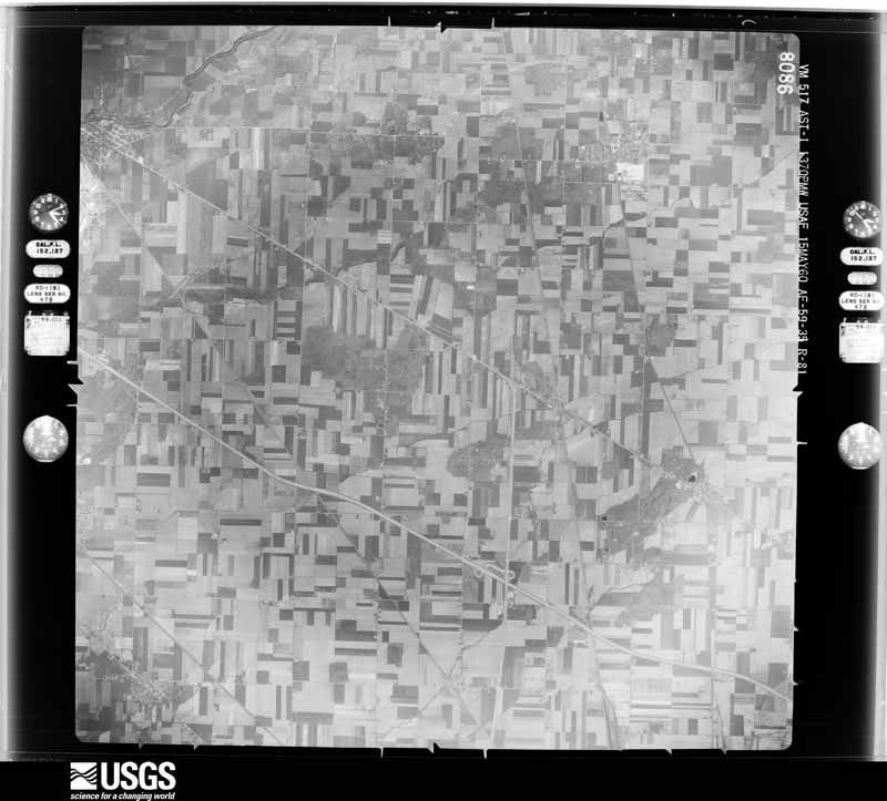
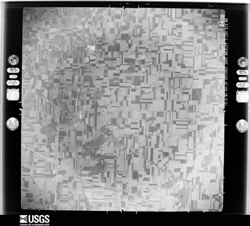
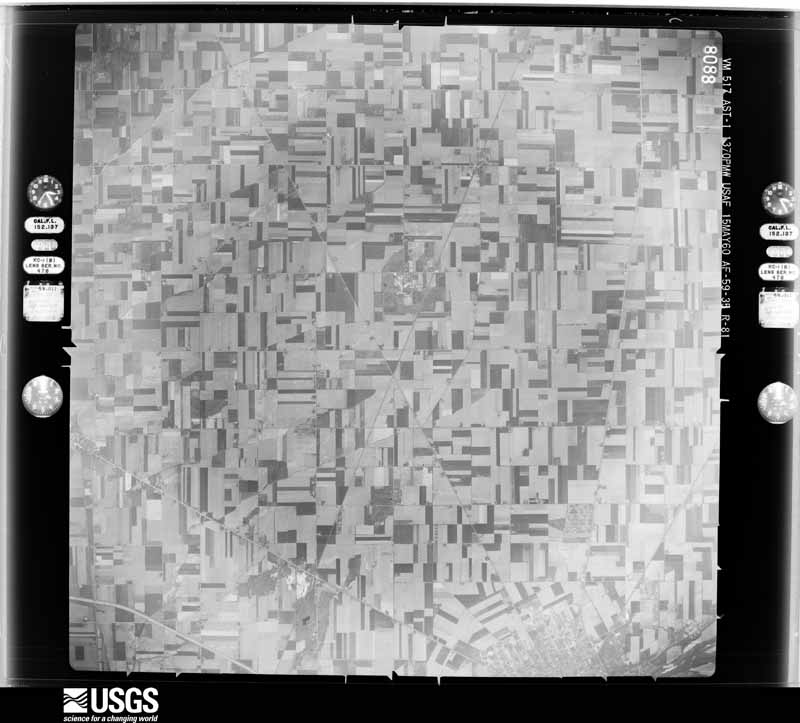
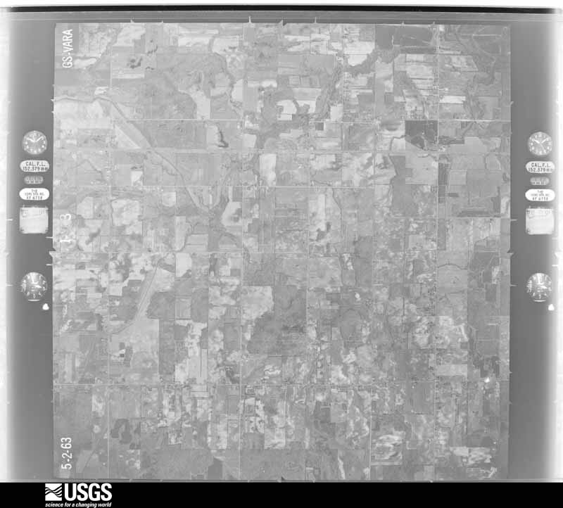
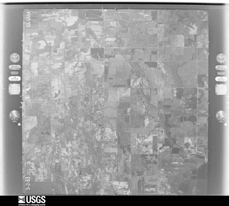
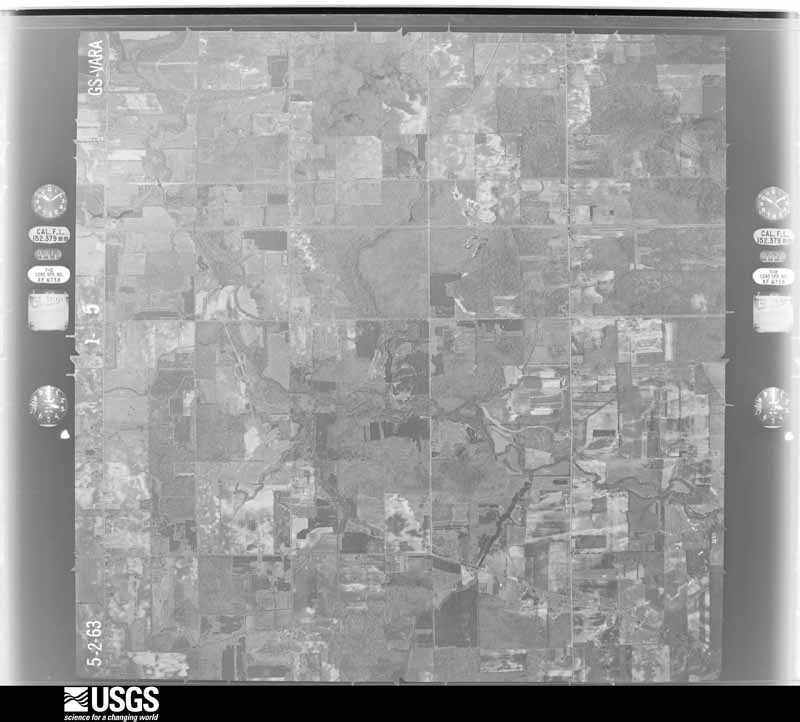
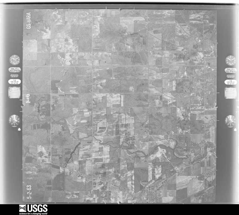
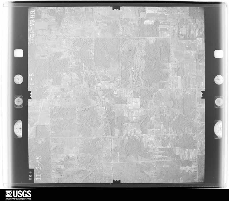
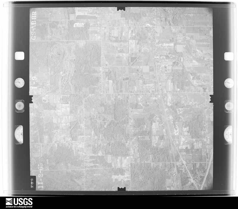
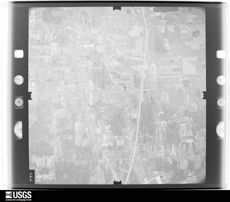
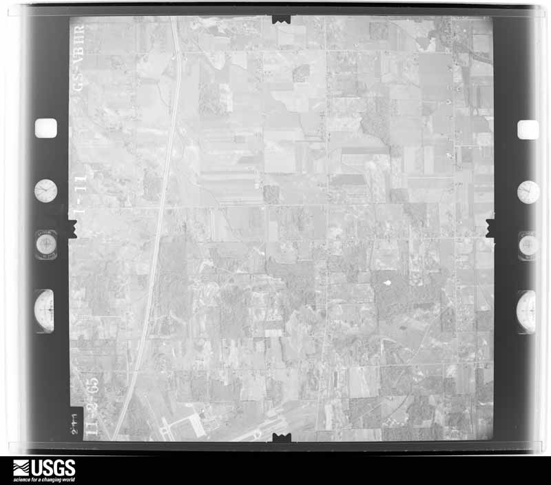
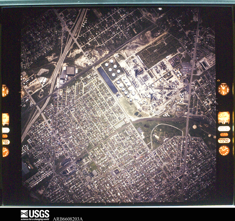
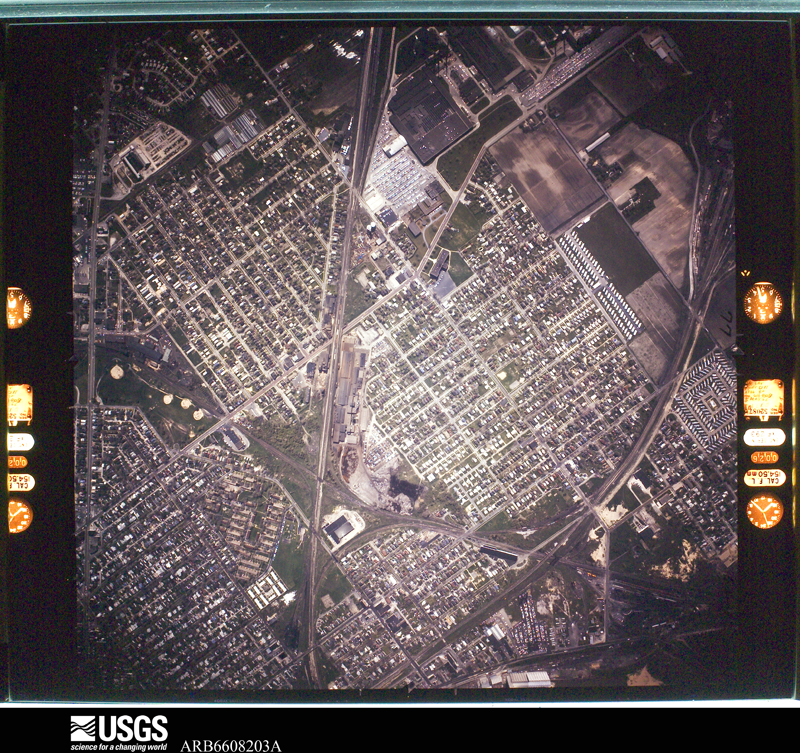
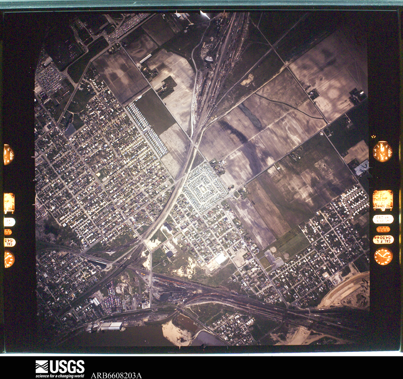
| June 2010 | Tornado (EF4) | Moline | 7 killed, 28 hurt, $100,000,000 | A devastating tornado moved across portions of northern Wood County during the late evening hours of June 5th. The tornado reached a peak intensity of EF4 and was responsible for the deaths of seven people. Five of the victims died immediately with the other two passing away from their injuries at later dates. The initial touchdown occurred east of Perrysburg along Oregon Road just to the north of the Ohio Turnpike. The tornado then moved east northeast toward Toledo Metcalf Field as an EF0 to EF1. The tornado intensified to an EF2 as it crossed East Broadway Street. Over two dozen homes in a neighborhood bordered by East Broadway to the west and State Route 795 to the north and east were heavily damaged or destroyed. The worst of the damage was along Shawnee and Neill Avenues in this neighborhood. The tornado then crossed State Route 795 and followed the highway toward Metcalf Field. The tornado intensified to EF3 at that time. Several homes along Moline-Martin Road were destroyed between State Route 795 and Metcalf Field. An occupant of one of the homes, an 87 year old man, was injured by the tornado and later died. As the tornado approached Metcalf Field it crossed a railroad yard and overturned a couple dozen railroad cars. The tornado then moved across the southern end of the airport grounds and destroyed the Lake Township Administrative and Police Department building located just northwest of the intersection of Cummings Road and State Route 795. A 20 year old female was killed by the tornado just outside of the police department. She had left her vehicle along with her boyfriend and child to seek refuge in the police station. She was caught outside and was reportedly killed by flying debris. At the police station, the tornado destroyed at least six police vehicles and one emergency response vehicle. The emergency response vehicle was found over 1000 feet away from its original position. One police vehicle was found wrapped around a large tree. After doing extensive damage to an agricultural business, the tornado struck the Lake Local School District complex along State Route 795 and Lemoyne Road. Lake High School took a direct hit from the tornado and was damaged enough to be considered destroyed. The nearby middle and elementary schools sustained considerable roof damage. The high school gymnasium was scheduled to hold a commencement ceremony for the graduating senior class on June 6th. Large sections of the gymnasium collapsed. A field house, cafeteria and auditorium adjacent to the high school were destroyed. At least eight school buses were overturned and destroyed by the tornado. The tornado continued to move parallel to and just north of State Route 795 at EF3 intensity. A 56 year old female was killed by flying debris while driving her car on State Route 795 near the school complex. The woman's daughters were following in another car which was also destroyed. The daughters both sustained minor injuries. The tornado continued east northeast and crossed Interstate 280 just north of the State Route 795 interchange before moving across open fields for about a mile. The tornado may have briefly weakened to EF2 intensity, but then strengthened back to EF3 intensity as it crossed Bradner Road to the west of Millbury. The tornado destroyed several homes in a neighborhood bordered by Bradner Road to the west and Cherry Street to the south. A 47 year old man was killed in house on Case Road in this neighborhood. The man's daughter was the valedictorian of the graduating senior class at Lake High School which was destroyed by the tornado. The tornado then intensified to EF4 as it approached Main Street on the north side of Millbury. Over a dozen homes were destroyed or heavily damaged along Main Street. A 36 year old woman and her four year old son were killed in one of the destroyed homes on Main Street. The woman's 37 year old husband died on June 12th from injuries sustained from the tornado. Several more homes were destroyed or heavily damaged on Hille Drive and Woodville Road before the tornado crossed North Fostoria Road and moved into Ottawa County as a weak EF3 or strong EF2 tornado. This tornado was on the ground for around six and a half miles in Wood County and destroyed or heavily damaged over 60 homes. Dozens of additional homes sustained minor damage with another couple hundred homes affected by the storm. Dozens of vehicles were also destroyed. Hundreds of trees were toppled or snapped by the tornado along the damage path which was up to 400 yards in width. The tornado debarked some of the larger trees along the damage path. At least one high tension utility pole was toppled by the tornado and widespread power outages occurred in Millbury and Walbridge. Damage to the Lake Township infrastructure was estimated at five million dollars with tens of millions of losses to the Lake Local School District. The exact number of injuries caused by this tornado is unknown, but at least 17 people had to be hospitalized in nearby Toledo. Debris from this tornado has been found dozens of miles away, including on some of the islands in western Lake Erie. |
| June 1953 | Tornado (F4) | not stated | 3 killed, 8 hurt | no account filed |
| May 1983 | Tornado (F3) | not stated | 1 killed, 22 hurt, $25,000,000 | no account filed |
| May 1992 | Thunderstorm Wind | not stated | 20 hurt | no account filed |
| January 1998 | Winter Weather | Countywide | 8 hurt | no account filed |
| April 1980 | Tornado (F2) | not stated | 7 hurt, $250,000 | no account filed |
| July 1992 | Tornado (F2) | not stated | 5 hurt, $250,000 | no account filed |
| July 1992 | Tornado (F2) | not stated | 5 hurt, $25,000 | no account filed |
| May 1969 | Tornado (F0) | not stated | 3 hurt, $2,500 | no account filed |
| July 1985 | Thunderstorm Wind | not stated | 2 hurt | no account filed |
| June 2017 | Lightning | Bowling Green | 1 hurt | Lightning stuck a tree at a golf course in Bowling Green causing the tree to fall and land on a golf cart. A person riding on the golf cart was pinned and had to be cut out. The person was transported to a hospital for treatment of their injuries. |
| July 1992 | Tornado (F2) | not stated | $2,500,000 | no account filed |
| June 2006 | Thunderstorm Wind | Wood Co Arpt | $2,000,000 | A severe thunderstorm with winds estimated to be at least 75 mph caused extensive damage at the Wood County Airport in Bowling Green. One hangar was completely destroyed and another was heavily damaged. The two hangars stored around eighteen airplanes, twelve of which were completely destroyed. Two flatbed trailers parked near the airport were thrown into an adjacent playground and destroyed. |
| July 2003 | Thunderstorm Wind | Bowling Green | $2,000,000 | A line of severe thunderstorms moved across Wood County and caused widespread damage and power outages. A 101 mph wind gust was measured at the Bowling Green Airport at approximately 3:55 p.m. The airport, located on the northeast side of town, was very hard hit. The terminal building lost a large section of roof with three nearby hangers heavily damaged. A total of 17 aircraft were either damaged or destroyed. Four buildings at the Bowling Green State University were damaged by the strong winds. Signs and a press box on the campus were also toppled. Many other homes and buildings, including a city garage, were damaged. Hundreds of trees and limbs were downed and many streets had to closed because of debris. Dozens of vehicles sustained varying amounts of damage. |
| November 2013 | Tornado (EF2) | Lime City | $1,500,000 | An EF0 tornado touched down near Lime City Road just to the north of U.S. Route 20 in Perrysburg. The tornado continued east northeast reaching EF2 intensity as it neared the intersection of State Route 795 and Oregon Road. Two warehouse buildings had walls blown down and lost large sections of roofing. A gas station at the intersection of State Route 795 and Oregon Road was heavily damaged. Several vehicles at the gas station were damaged. Other businesses in the immediate vicinity also sustained roof damage. After causing extensive damage to a couple homes in a residential neighborhood just north of State Route 795, the tornado weakened to EF0 intensity. It then remained on the ground as either an EF0 or EF1 tornado for another four and half miles before moving into Lucas County near Northwood. It damaged several more homes and some apartment buildings before entering Lucas County. Most of this damage was from lost roofing and siding. Dozens of trees were downed along the damage path which was just over seven miles long and up to a 100 yards in width in Wood County. Many vehicles including a couple of recreational vehicles were damaged by the strong winds or flying debris. |
| May 2000 | Hail | Tontogany | $1,000,000 | Hail as large as softballs and shaped at times like candy bars fell at Tontogany for approximately ten minutes. Damage was extensive with 160 of the 200 homes in the village sustaining damage. Most of the damage was from broken windows, but over 100 hundred homes had holes knocked into exterior walls by hailstones driven by winds estimated at 50 to 60 mph. Most of this damage occurred on west facing walls. Several dozens cars and eight school buses were caught outside and had windows shattered and metal dented. The local high school had several dozen windows broken. The broken windows allowed heavy thunderstorm rains to seep inside. The rain water damaged and destroyed books, computers and other equipment inside. Outside the school, a press box at an athletic field was damaged and a chimney toppled. Valuable stained glass windows in a local church were also broken. Four trucks from the local fire department were caught outside and suffered extensive damage. Several large wheat fields near the village were shredded with a near 100 percent crop loss. |
| November 2002 | Tornado (F1) | Jerry City | $850,000 | A tornado touched down southwest of Jerry City and then moved northeast for approximately four and a half miles before dissipating. Seven homes sustained varying degrees of roof damage and three garages were destroyed on the southwest side of Jerry City. To the northeast a few hundred yards, the city maintenance garage was leveled. As the tornado exited Jerry City, it knocked a house off of it's foundation. From Jerry City, the tornado moved northeast across open farmland and destroyed a large barn as it crossed Huffman Road. A home on Bloomdale Road was slightly damaged with the tornado finally lifting near Reynolds Road just north of State Route 281. Several vehicles were destroyed by this tornado and hundreds of trees downed along the damage path which was no more than 50 yards in width. |
| June 2006 | Flash Flood | North Portion | $750,000 | Thunderstorms dumped locally heavy rains on much of Wood County during the evening hours of June 21st. The heaviest rains fell on the northern two tiers of townships. Spotters in Haskins measured 4.5 inches of rain with 4.0 inches recorded in Perrysburg and 2.50 inches at North Baltimore. Most of this rain fell between 7 and 9 p.m. Significant street and lowland flooding was reported in the Perrysburg and Lake Township areas. Several roads had to be closed because of flood waters over two feet deep. Further south, nuisance flooding occurred in and around Bowling Green. At least three buildings on the Bowling Green State University campus sustained flood damage. Hundreds of homes in the county experienced basement flooding. |
| August 2003 | Flash Flood | Countywide | $750,000 | Thunderstorms dumped heavy rains on portions of Wood County. 2.38 inches of rain was measured in Bowling Green with just over 3 inches in Cygnet. Urban and lowland flooding occurred throughout the county with the east side of Bowling Green seeing the worst flooding. Extensive flooding occurred on the Bowling Green State University campus with water up to three feet deep at some locations. The Quail Hollow subdivision also experienced a lot of flooding with water over 18 inches deep outside of many homes. Many streets and roads had to be closed and several vehicles became stranded in the flood waters. Dozens of homes in the county experienced basement flooding. |
| May 2002 | Hail | Perrysburg | $600,000 | Hail to tennis ball size fell for several minutes and accumulated on the ground to a depth of over six inches at some locations. The hail plugged many storm sewers causing water to back up into the basements of several homes. Dozens of vehicles and many homes were damaged and hundreds of trees were completely stripped of leaves. |
| May 2010 | Tornado (EF1) | Cloverdale | $500,000 | An EF1 tornado touched downed in rural Wood County near the intersection of Portage and Emerson Roads in Montgomery Township. The tornado traveled north northeast approximately two and a half miles before lifting near the intersection of Kenner Road and U.S. Route 6 near New Rochester. Five barns were leveled along the damage path which had a maximum width of around 100 yards. Several homes along the damage path also sustained roof damage. Two grain bins were also destroyed. Many trees and limbs were downed along the damage path. |
| July 2003 | Thunderstorm Wind | Countywide | $500,000 | A line of severe thunderstorms moved across Wood County and caused widespread damage and power outages. The most significant damage occurred in the central portion of the county, but Bradner, Tontogany and Grand Rapids were also very hard hit. A few homes were damaged in Grand Rapids and a garage was leveled in Tontogany by winds estimated to be in excess of 75 mph. Several trees and large limbs were downed in the county and crop losses were significant. |
| November 2002 | Thunderstorm Wind | Countywide | $500,000 | Straight line thunderstorm winds caused considerable damage across Wood County. Several homes and a garage were damaged in Tontogany. The Weston area was also hard hit. Several homes were damaged, a car was destroyed and 26 power poles were toppled on the northwest side of the town. Over a dozen trees were downed in Haskins and a semi truck was blown over on Interstate 75 near State Route 582. Scattered trees were also reported down elsewhere across the county. |
| October 2001 | Thunderstorm Wind | Countywide | $500,000 | Thunderstorm winds downed dozens of trees and 35 power poles in the county. North Baltimore was hardest hit with 20 power poles and over a dozen trees downed. Several homes and cars were severely damaged in North Baltimore. Trees and poles were also blown down in Cygnet, Rudolf, Rossford and Bradner. |
| November 2002 | Tornado (F1) | Millbury | $325,000 | A tornado touched down in a wooded area between Main Street and Hille Drive. The tornado then traveled northeast for approximately one half mile before dissipating along Fostoria Road just north of State Route 51. A home on Emily Drive lost it's entire roof and had a wall collapse. Four other homes in the area lost sections of roof. Around a dozen trees were toppled along the damage path which was less then 25 yards in width. |
| May 2010 | Thunderstorm Wind | Grand Rapids | $300,000 | Thunderstorm downburst winds estimated to be at least 60 mph caused damage throughout northern Wood County. Damage was reported from the Grand Rapids area northeast across Perrysburg Township to near Millbury in the northeast corner of the county. Several barns and outbuildings were damaged in the Dowling area and a mobile home in Millbury was heavily damaged. Several homes south of Perrysburg sustained damage from fallen trees. At least one home in Rossford also sustained damage. Hundreds of trees and limbs along with a few utility poles were downed across northern Wood County. Scattered power outages were reported. |
| June 2015 | Flood | Grand Rapids | $250,000 | The Maumee River flooded it's banks in the city of Grand Rapids in late June due to several days of heavy rain across the entire Maumee Basin. The river crested at 19.2 feet in moderate flood stage around 8 pm on the 29th. Several businesses in downtown Grand Rapids were inundated with a few inches of water. West, Beach, and Front Streets were the most impacted. Grand Rapids Chamber of Commerce said of this flooding that this was the most significant non-winter flood event Grand Rapids has ever experienced. |
| July 2013 | Thunderstorm Wind | Bowling Green | $250,000 | A trained spotter measured a 65 mph thunderstorm wind gust. Dozens of trees were toppled or snapped and three semi trucks were blown over on Interstate 75 just south of U.S. Route 6. No injuries were reported. |
| July 2012 | Thunderstorm Wind | Perrysburg | $250,000 | Thunderstorm downburst winds estimated to be as much as 70 mph caused considerable damage in Perrysburg. Dozens of trees and at least three utility poles were toppled. A few homes were damaged by fallen trees. Scattered power outages were reported. |
| May 2002 | Thunderstorm Wind | Perrysburg | $250,000 | Thunderstorm winds blew over two fully loaded semi trucks six miles east of Perrysburg near the intersection of Interstates 80/90 and 280. Both trucks were severely damaged. The roof of a large building nearby was also torn off. |
| June 2000 | Tornado (F1) | Pemberville | $250,000 | A tornado touched down a few miles west of Pemberville along State Route 105 and near the north branch of the Portage River. The tornado moved in a west to east direction for several hundred yards along the river. The observed damage path was approximately 25 yards in width. The roofs of two businesses were torn off by the tornado. One of the roofs landed 500 feet away from the building it came from. Many trees were blown down and several signs were sucked out of the ground. One home was damaged by a fallen tree and a second tree crushed a nearby car. A small stretch of the Portage River was clogged with fallen trees. |
| July 1998 | Lightning | Perrysburg | $250,000 | Lightning struck and nearly destroyed a house in Perrysburg Township. |
| January 1980 | Tornado (F0) | not stated | $250,000 | no account filed |
| April 1980 | Tornado (F1) | not stated | $250,000 | no account filed |
| October 1977 | Tornado (F0) | not stated | $250,000 | no account filed |
| November 2013 | Tornado (EF1) | Jerry City | $200,000 | An EF1 tornado touched down east of Jerry City near the intersection of Main Street and Huffman Road. The tornado then continued east for around one and a third miles and lifted after crossing Cloverdale Road. A mobile home along Main Street was destroyed and a couple of other homes and buildings in the area lost roofing and siding. Damage along the remainder of the damage path consisted of mainly downed trees. The parent thunderstorm responsible for this tornado earlier produced a tornado near North Baltimore. |
| June 2014 | Thunderstorm Wind | Bloomdale | $150,000 | Thunderstorm winds downed a couple of utility poles east of Bloomdale. A barn in the area was leveled and a large grain bin was heavily damaged. |
| July 2013 | Thunderstorm Wind | Rising Sun | $150,000 | Thunderstorm downburst winds downed dozens of trees along the Wood and Sandusky County line. In one area, a 300 yard long row of trees was completely flattened. |
| July 2013 | Thunderstorm Wind | Weston | $125,000 | Thunderstorm winds estimated at more than 60 mph downed several trees and blew down or heavily damaged three barns on Poe Road west of Bowling Green. |
| May 2004 | Hail | Perrysburg | $125,000 | Quarter to golf ball size hail was observed. Many cars were damaged. |
| June 2013 | Thunderstorm Wind | Bowling Green | $100,000 | Dozens of trees were downed across Wood County. A few of the trees damaged homes. A tree punctured the roof of a home on Euler Road west of Bowling Green. |
| June 2013 | Tornado (EF0) | Custar | $100,000 | A tornado touched down about a mile west of Custar and then traveled east. The tornado lifted as it entered the west end of Custar. Some trees were toppled along the damage path and two homes and a garage in Custar sustained roof damage. Damaging straight line winds accompanied the tornado and downed trees elsewhere in Custar. The tornado had a damage path nearly a mile in length and up to 50 yards in width. This tornado was rated an EF0. |
| July 2011 | Thunderstorm Wind | Bradner | $100,000 | A supercell thunderstorm tracked across Wood County, producing substantial damage. Downburst winds caused significant damage at an area farm. The tin roof covering the feedlot and livestock area was peeled off. A few outbuildings on the property were destroyed. No livestock were injured or killed during this event. Portions of the roof, covering one barn on the property, were ripped off as well. Another barn on the property was reportedly destroyed. Several large trees were uprooted on the property. The residence sustained damage as a result of the uprooted trees. The property owner estimated the damage to be around $20,000. Elsewhere, numerous reports of uprooted trees and overturned recreational vehicles in the area were recorded. There were no reports of injuries during this downburst wind event. |
| May 2004 | Thunderstorm Wind | Countywide | $100,000 | A line of severe thunderstorms moved across Wood County and downed dozens of trees. Scattered power outages were also reported. A 67 mph wind gust was measured at the Bowling Green water treatment plant. A few homes and vehicles were damaged by fallen trees and flying debris. |
| November 2002 | Thunderstorm Wind | Bowling Green | $100,000 | Thunderstorm winds estimated to be in excess of 60 mph blew a semi truck over on Interstate 75 ten miles north of Bowling Green. A car was also damaged. |
| May 2000 | Tornado (F0) | Hoytville | $100,000 | A small tornado touched down just north of Hoytville on Needles Road and damaged two mobile homes. Both mobile homes suffered structural damage and were knocked off foundations. After traveling approximately 100 yards on the ground the tornado lifted back into the sky and then traveled northeast approximately three and one half miles as a funnel cloud. A second brief tornado touchdown occurred three miles northwest of New Baltimore near the intersection of Hammansburg and Wingston Roads. An old mobile home was destroyed at that location. |
| August 1999 | Lightning | Walbridge | $100,000 | A barn was struck by lightning with the resulting fire doing extensive structural damage. |
| June 2019 | Flood | Latcha | $75,000 | The Portage River came within 0.3 feet of major flood stage at the Woodville gauge at 2 PM on June 3rd. Roads southwest of Pemberville were closed, and water spilled out of its banks into houses and properties on Water and Bridge Streets, and completely flooded the parking lot in the downtown businesses of Pemberville. Downstream (east of Pemberville), Elmore Road was closed, and water was inches away from spilling over Bradner Road, which is normally used as a detour around Elmore Road. In Sandusky County, State Route 105 and Fort Findlay Road were inundated with feet of water just east of U.S. Route 23, closing both roads at those locations. Just outside of Woodville, west of State Route 582, backflow from a ditch flooded a ravine, and covered State Route 105 with a couple inches of standing water, but the road was not closed. In Woodville, flooding was less extensive from a residential standpoint than in Pemberville. Trail Marker Park was inundated with feet of water, and Cherry Street was closed, but only about 4 homes were impacted, in comparison to the 10-15 impacted in Pemberville, as the floodplain in Woodville is less developed. |
| July 2012 | Thunderstorm Wind | Hoytville | $75,000 | Thunderstorm downburst winds flattened a pole barn and three smaller sheds. A home nearby was also damaged. |
| June 2011 | Thunderstorm Wind | Rossford | $75,000 | Thunderstorm winds downed numerous large trees and utility poles. Five vehicles sustained damage from the downed trees. |
| May 2010 | Hail | Perrysburg | $75,000 | Golf ball size hail was reported. A few vehicles sustained minor damage from the hail. |
| June 2006 | Thunderstorm Wind | Perrysburg | $75,000 | Several trees were uprooted causing damage to several homes. Utility poles and wires were also reported down from the thunderstorms. |
| July 2006 | Thunderstorm Wind | North Baltimore | $75,000 | Numerous trees and power lines were reported down from North Baltimore east to the northwest side of Fostoria. Several power poles were snapped northwest of Fostoria, and a barn was damaged along State Route 199. |
| June 1998 | Thunderstorm Wind | Pemberville | $75,000 | Many trees were downed, the roof of a mobile home was blown away and the roof of a barn was blown off. In Perrysburg, a house trailer was blown over. |
| August 1998 | Flash Flood | Cygnet | $75,000 | Heavy thunderstorm rain caused the Rocky Ford to overflow its banks. Some businesses incurred water damage, as well as numerous homes. Homes in the nearby town of Bloomdale also experienced flooding. |
| June 1997 | Flash Flood | Countywide | $70,000 | no account filed |
| June 2013 | Thunderstorm Wind | Bowling Green | $65,000 | Members of the public estimated wind gusts in excess of 70 mph west of Bowling Green. Many trees were downed from strong thunderstorm winds throughout Bowling Green and south to Portage. At least two of the trees fell on homes. |
| June 2017 | Thunderstorm Wind | Latchie | $60,000 | Thunderstorm wind gusts overturned a semi truck near the intersection of Interstate 280 and the Ohio Turnpike. No injuries were reported. |
| June 2014 | Thunderstorm Wind | Walbridge Llngtn Arp | $60,000 | Two semi-trailers were blown over by thunderstorms winds at Oregon and Wales Rd. |
| May 1997 | Thunderstorm Wind | Countywide | $60,000 | no account filed |
 Block
Block