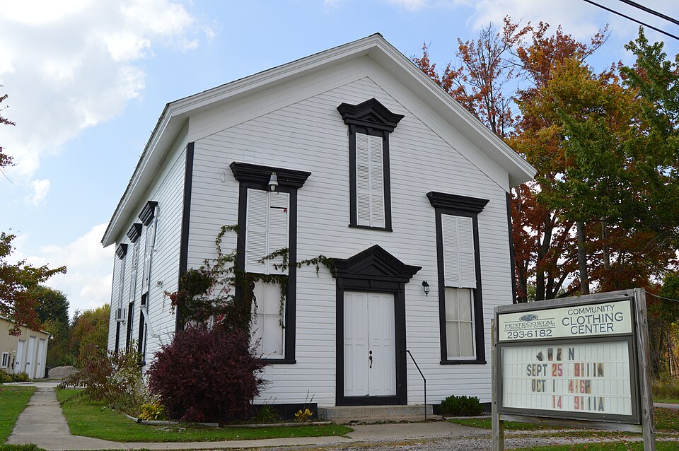
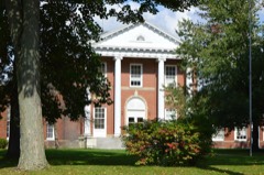
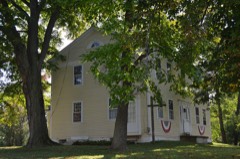
Listed on the National Register of Historic Places in
1975. A historic map-sheet match is not published yet. The record needs a coordinate-quality review before it can be joined to a sheet boundary.
From the record
one of 36 National Register listings in Ashtabula County · listed in 1975 · category: Building · one of 1 National Historic Landmarks in Ashtabula County.
National Register reference number.75001317- the number the National Park Service assigned this property when it was listed, and the key its nomination file is catalogued under at the National Archives.
The ground it stands on
26 words
This property stands in New Lyme Township. History of Ashtabula County Ohio, published 1924 gives that township a chapter of its own.
The chapter covers the township.
Machine-read from a century-old scan, so
expect the errors a machine makes: misspelled names, dropped words,
stray characters.
Regional context, not property-specific
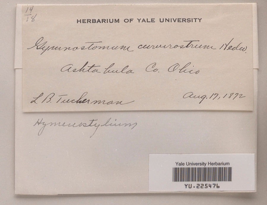
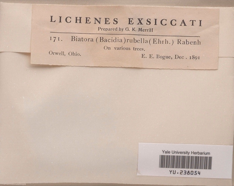
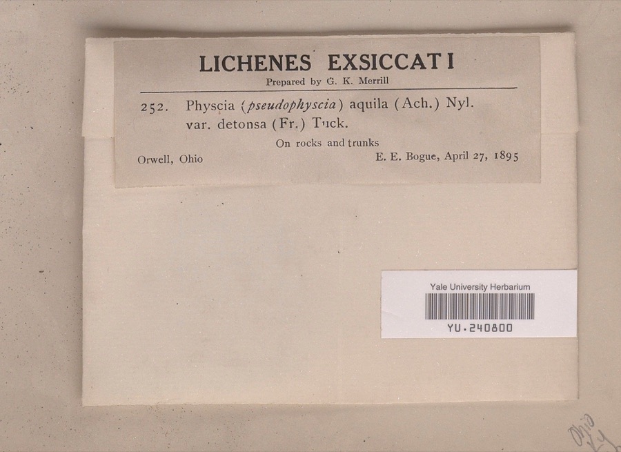
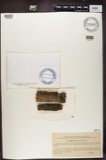
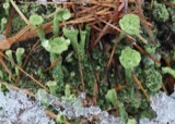
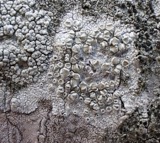
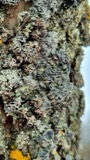
evidence. Museums hold 465 specimens
collected within 10 miles of New Lyme Town Hall between 1872 and
1975: 415 Animalia, 36 Fungi, 14 Plantae. 12 distinct Species records are shown.
Collected by A.E. Daugherty, Acker, G. G. & Class, Armbruster, D. C. (Daniel C.) and others. Each is a
physical object with a catalogue
number, and each entry opens the museum's record. This is what was
collected and kept, not a survey of what lives here - nothing can be
concluded from a species being absent.
No historic map-sheet match is published
for this property yet. That does not mean no map exists. This record needs
a coordinate-quality review before it can be joined to a sheet boundary.
Browse the county's mapped places while that work is
pending.
From the nomination file
1,494 words on record
When this property was proposed for the
National Register, someone wrote the case for it: what the building is,
and why it matters. That document is a federal record in the public domain.
It is quoted below word for word, never summarised. The text was read off the scanned case file by machine, so the
occasional stray character is the recogniser's and the 1970s
typewriter's.
Statement of significance
township, Dodgeville, Brownville and South New Lyme. Although after the Institute was founded, south of the township center SIGNIFICANCE Commerce Engineering Communications Military losophy Architecture Conservation Aboriginal Religion/Phi Prehistoric Literature Education itarian Agriculture Invention township was organized in 18l3 with the name of Lebanon. In 1825 there were three distinct and prosperous communities in the years or so, and hoped to obtain the State Normal School which intersect the Niles-Ashtabula Road. was finally established at Kent.The Institute building became nal architectural detail gives ita distinctive character and clearly establishment of cheese factories and a carriage manufacturer.
education.It flourished and gained some reputation for twenty Doctors Kee and Ely, and it enjoyed success for several years Although this town hall is a very modest building, its exter- it was changed to New Lyme.In the mid-nineteenth century The first important settlement of the township came in l8ll, a public school in 1923. The town hall was erected shortly Industry predominantly agricultural, the years after the Civil War saw the although there was one family there a few years before.The where the Dodgeville-Cherry Valley Road was put through to states that it is a public building.The township was one of amb- Music before the fashion declined.In l878 the New Lyme Institute was founded by Judge William S.Deming asa school for higher itious pretensionsat the time the town hall was built.
In 1852a sizable water cure sanitarium was erected by 1885 AREAS OF SIGNIFICANCE (Check One or More as Appropriate) Art Ashtabula County Atlas_(Ashtabula, 1905), 101.
Quoted from the National Register nomination
for reference 75001317, 13 pages, held by the National Archives in Record
Group 79. See the
catalogue record.
Listed places nearby
3 within 8 miles
Other National Register properties close
enough to walk or drive between, ordered by distance from this one. Both
positions come from the same geocoding pass that matched these properties
to their map sheets.
Listing record. National Park Service National Register of Historic Places, listed-properties dataset, current to 2026-05-22.
Map join. Address geocoded through the United States Census geocoder, then tested against the published boundary of every sheet in the USGS Historical Topographic Map Collection.
How this page is made. Listing fields come from federal records; map-sheet coverage is a labelled coordinate-to-boundary calculation, not a source-field claim.
Specimens. Global Biodiversity Information Facility (GBIF), https://www.gbif.org/. Only records licensed CC0 or CC BY are used. Records licensed CC BY-NC are excluded because this site carries advertising. Images are checked individually and any whose licence is non-commercial, no-derivatives or unreadable is refused.
 Block
Block