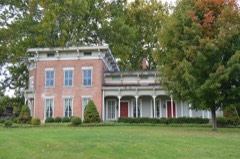
Listed on the National Register of Historic Places in
1974. A historic map-sheet match is not published yet. The record needs a coordinate-quality review before it can be joined to a sheet boundary.
From the record
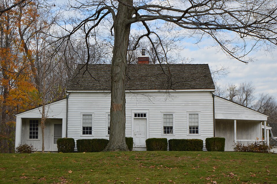
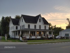
“Shandy Hall is the name of a homestead museum located in Harpersfield, Ohio, owned and maintained by the Western Reserve Historical Society.”
Wikipedia article Shandy Hall (Ohio), CC BY-SA 4.0.
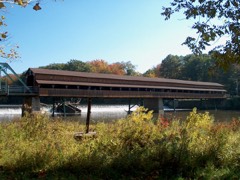
one of 36 National Register listings in Ashtabula County · listed in 1974 · category: Building · one of 1 National Historic Landmarks in Ashtabula County.
National Register reference number.74001395- the number the National Park Service assigned this property when it was listed, and the key its nomination file is catalogued under at the National Archives.
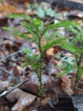
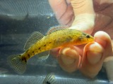
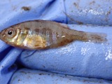
Specimens collected near this property
12 of 686 shown
Regional context, not property-specific
evidence. Museums hold 686 specimens
collected within 10 miles of Shandy Hall between 1891 and
1975: 580 Animalia, 90 Plantae, 15 Fungi, 1 Chromista. 12 distinct Species records are shown.
Collected by A. A. Bill, A. B. Fuller, A. Burhanna and others. Each is a
physical object with a catalogue
number, and each entry opens the museum's record. This is what was
collected and kept, not a survey of what lives here - nothing can be
concluded from a species being absent.
Regional context, not property-specific
evidence. The National Weather Service names
Geneva, the town this property stands in, in 23 storm reports between 1994 and 2024: 13 thunderstorm wind, 6 hail, 2 lightning, 2 flash flood.
The reports record 1 injury. Each account below is quoted exactly as the forecast office
filed it, from the NOAA Storm Events Database, and each date
opens the federal record of that event.
A man was struck by lightning while trying to rescue his dog which was also struck by lightning seconds earlier. Unfortunately, the dog did not survive the lightning strike. The man sustained non life threatening injuries and was expected to make a full recovery.
A tributary to the Ashtabula River came out of its banks on the evening of May 21st after an estimated 2 inches of rain fell within an hour and a half. The small unnamed creek came out of it's banks near the University Hospital Medical Center near Britton Drive. A trailer park was inundated with several feet of water from this same creek, yet the raised levels of the trailers prevented flooding in the homes. A construction site near the creek sustained significant damages to supplies from the fast moving water. Main Street was closed just west of town due to the same creek's floodwaters.
A thunderstorm downburst caused damage in Geneva. A swath of damage was observed from near Geneva High School northeast to near the intersection of U.S. Highway 20 and South Myers Road. A house near the high school lost a large section of roof. Another 8 to 10 homes were damaged in a neighborhood just to the west of South Myers Road and to the south of U.S. 20. Most of this damage was caused by fallen trees and limbs. Many trees were damaged along the damage path which was over a mile in length.
Storms with torrential rainfall combined with saturated ground conditions resulted in flash flooding over Ashtabula County. Several small streams and creeks were already swollen due to recent rains and floods, so the additional inch to an inch and a half was more than sufficient to produce flooding. Several creeks came out of banks, with portions of ST RT 46 closed as several inches of flowing water from a small creek near the town of Rock Creek covered the road.
No historic map-sheet match is published
for this property yet. That does not mean no map exists. This record needs
a coordinate-quality review before it can be joined to a sheet boundary.
Browse the county's mapped places while that work is
pending.
From the nomination file
1,774 words on record
When this property was proposed for the
National Register, someone wrote the case for it: what the building is,
and why it matters. That document is a federal record in the public domain.
It is quoted below word for word, never summarised. The text was read off the scanned case file by machine, so the
occasional stray character is the recogniser's and the 1970s
typewriter's.
Description of the property
construction, set on a stone foundation, it consisted of two ground floor rooms, two upstairs rooms and an open garret, all surrounding from the east ground floor room. Between 1818 and 1828 the house additions, as well as having various secondary rooms, included the turbed at this time. On the south (front) these additions end in its original French wallpaper.The house also retains its original a center chimney.The original stairs go up to the second floor
Statement of significance
C. Harper, who was one of the first settlers in Ashtabula County. Alexander Harper was a founding member of the Old Harpersfield from Harpersfield, New York in 1798 and settled (new) Harpersfield Robert Harper was a lawyer, active in state and local politics The significance of the building is twofold: it is a very early and well-preserved Western Reserve area house; and the furnishings, decor and much of the landscaping are original, having once JUN 2 7 1574 Commerce Architecture Conservation Engineering Communications Transportation Military Aboriginal REGISTER NATIONAL Literature Music Theater Agriculture Landscape Political Sculpture Pre-Columbian public affairs. Invention Social/Human- Harper family maintained the house as a homestead until 1938.
"Shandy Hall" was begun in 1815 by Robert Harper, son of Alexander belonged to an important figure in early Western Reserve and Ohio and the first state representative from Ashtabula County.The The house and furnishings have been preserved by the family. Religion/Phi. Education Land Company which was organized to purchase land in the Connecticut Industry AREAS OF SIGNIFICANCE (Check One or More as Appropriate) Western Reserve. Alexander Harper and twenty-five others came only 15 other families in the Reserve at that time. losophy itarian Art Cleveland, 1971. Fitch, Winchester. Western Reserve Historical Society), Unionville, 1912.
Quoted from the National Register nomination
for reference 74001395, 16 pages, held by the National Archives in Record
Group 79. See the
catalogue record.
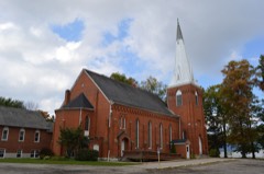
Listed places nearby
4 within 8 miles
Other National Register properties close
enough to walk or drive between, ordered by distance from this one. Both
positions come from the same geocoding pass that matched these properties
to their map sheets.
Listing record. National Park Service National Register of Historic Places, listed-properties dataset, current to 2026-05-22.
Map join. Address geocoded through the United States Census geocoder, then tested against the published boundary of every sheet in the USGS Historical Topographic Map Collection.
How this page is made. Listing fields come from federal records; map-sheet coverage is a labelled coordinate-to-boundary calculation, not a source-field claim.
Specimens. Global Biodiversity Information Facility (GBIF), https://www.gbif.org/. Only records licensed CC0 or CC BY are used. Records licensed CC BY-NC are excluded because this site carries advertising. Images are checked individually and any whose licence is non-commercial, no-derivatives or unreadable is refused.
Storms. NOAA National Centers for Environmental Information, Storm Events Database https://www.ncei.noaa.gov/stormevents/ A work of the United States government, no copyright under 17 U.S.C. 105. Narratives are quoted verbatim from the National Weather Service report and are not edited or summarised.
 Block
Block