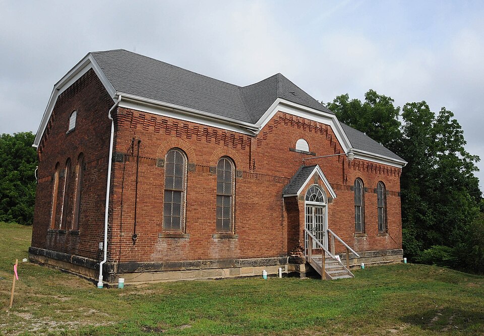
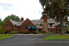
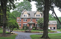
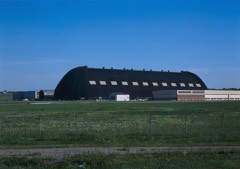
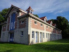
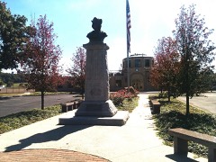
Listed on the National Register of Historic Places in
2017. A historic map-sheet match is not published yet. The record needs a coordinate-quality review before it can be joined to a sheet boundary.
From the record
“William Triplet, who was the second settler of the township if Cruzen was the first, appeared about 1807. By the statements of John Buchtel and Mrs.”
History of Summit County, with an Outline Sketch of Ohio (1881). Machine-read text.
one of 137 National Register listings in Summit County · listed in 2017 · category: Building · one of 1 National Historic Landmarks in Summit County.
HUDSON THE PIONEER TOWNSHIP OF SUMMIT COUNTY--LONG AND PERILOUS JOURNEY - ' HOME AT LAST," JUNE, 1779 - EARLY PRIVATIONS - FIRST PUBLIC THANKSGIVING- PATRIOTIC CELEBRATION, JULY 4, 1800 - VITAL STATISTICS -WONDERFUL LONGEVITY OF EARLY SETTLERS - ORGANIZATION OF TOWNSHIP - INDIAN AND WILD BEAST EX PERIENCES--RELIGION, CHURCHES, ETC. - EDUCATIONAL MATTERS--WESTERN RESERVE COLLEGE, ITS RISE, PROGRESS AND DECLINE - HUDSON'S PAST AND PRESENT BUSINESS STATUS ~-MILITARY OPERATIONS - SPLENDID CIVIL RECORD - CRIMINAL MATTERS - THE MALONEY-STEPLETON HOMICIDE - EXCITEMENT AMONG THE PEOPLE - PURSUIT AND CAPTURE OF THE MURDERER- - TRIAL, LIFE SENTENCE, PARDON, SUBSEQUENT LIFE, ETC. - HUDSON'S PUBLIC SPIRIT, RAILROAD ENTERPRISE, ETC.
On Sections 7 and 18 of this township, is a portion of Turkey Foot Lake, the greater part being situated in Franklin Township, on Sections 12 and 13. This body of water is about one mile in length from east to west, and varj^ing in its width. At the narrowest point, directly on the township line, it is but little over a quarter of a mile in width, but, at both ends, it is from one-half to three-quarters of a mile in width. It is called Turkey- Foot Lake because the shape of the sheet of water resembles the foot of a turkey. Just north of this lake is the " Reservoir," a portion of which extends into Green Township, on Section 6. Another small lake or pond is situated in this township, upon Section 33. This sheet of water, which would possibly be more correctly' termed a marsh, lies between the hills, and is about one mile in extent from north to south and ver}' irregular in width. The southern portion seems to terminate in a sink-hole, which is said by some to be bottomless, but, by more reliable authority, from sixty to eight}- feet in depth ; the sinkhole covers an area of about three acres. There are also three very deep little lakes or sink-holes on and near the southwest corner of Section 20, which have destroyed man}- head of cattle in times past that approached too near them and were swallowed in the miry muck which surrounds the ponds. Tritt's pond, on Section 31, and Heckman's mill-race on Section 18, are artificial reservoirs, which serve as water-power for mills. Gren. Bierce says : '' One of the greatest curiosities of the township in the early settlement was 'Rattlesnake' Spring, on Section 25, first owned by John Yarrick. It is on the road from Greentown to Grreensburg. When Yarrick first purchased this land, the spring was a great resort for rattlesnakes. The water issues from a crevice in a limestone rock, overlaid with a bold bank of about twenty feet high. In the \ fall of the year, the snakes would resort to this spring and enter the crevice of the rock, where the^' remained through the winter. When the warmth of spring revived them from their tori por, they would emerge from their winter quar- \ ters to bask in the sun. At this season they j fell an easy prey to the destroyer. Yarrick and I his family' would kill hundreds of them, then I pile the snakes on a log-heap and burn them. By this wholesale butchery the spring was soon rid of rattlesnakes, but it ever afterward bore the name of its first venomous inhabitants.''
For many years previous to the settlement of Ohio by the whites. Green Township must have been a fiivorite resort of the aboriginal race which then inhabited the State, for in the early day, man}' remains of their handiwork were found. Gen. Bierce says : " The northwest quarter of Section 25, on land purchased by Cornelius Johnston of the United States in 1813, appears to have been a favorite huntingground of the Indians, as arrow-heads, hatchets, skinning knives and other implements have i been found there in great abundance. From ' the numerous flint chips found on that quarter j of the section, it would seem to have been a : place for manufacturing their stone hatchets I and arrow-heads. Where they found the stone is unknown. This spot seems to have been se- ! lected on account of its being light-timbered, clear from underbrush, and elevated a little above the surrounding lands. Scattered over ; this elevated plateau were found piles of stones, varying in size from a man's fist to his head, and arranged in heaps of from four to six feet to a little larger or smaller. Tradition assigns i to them the honor of holding the ashes of some ! warrior or chief, but as no bones or human remains have ever been found in them, I am inclined to think them altars, on which they sacrificed to their gods, and the spirits of their departed braves. Among all the tribes sacrifices were common. Tradition saj-s that one of the early settlers in Green attempted to desecrate one of the altars, but after throwing down three or four feet of it, and when he was, as he supposed, about to accomplish his object, he was seized with a supernatural fear, and abandoned the enterprise." Previous to the war of 1812, Indians were quite plenty in the township, but as they sided with the British the}' were compelled by the white settlers to leave, and since then an Indian has rarely been seen within the limits of Green. Man}' families who located after the war declare the red men had all left when they came from Pennsylvania. The remains of their old forts and wigwams were seen as late as 1855, according to Gen. Bierce, at the head-waters of the Nimishilla, on Sections 36 and 25. They also occupied several camps near Turkey Foot Lake, and what is now the reservoir, in 1809, when the Kepler family first located in the township. " Among the celebrated Indians who used this township for a hunting-ground was a chief called by the whites ' Beaver Hat.' He had a settlement at what is how the south part of the village of Wooster, where the Baptist burying-ground now is. His Indian name was Paupellnan, and his settlement he called ' Apple Chanquecake,' or apple orchard. He was a bitter enemy of the whites, and, when drunk, he would take out a string with thirteen white men's tongues on it, dried, and exhibit them with much pride. One day he got out his string of tongues, and began to shake them, when George Harter took his rifle and started after him, sa3ing he would go and kill a buck. The report of a rifle was soon after heard, but he brought back no game, nor was Beaver Hat ever heard of more." - Bierce. Harter lived immediately south of Section 16 land for a few years at an early day. Most of the original permanent white settlers of Green Township were Pennsylvania Dutch and their descendants, and the cast and tone of morals and society still retain a decidedl}' German character. The citizens are honest, frugal, industrious and wealth}'. Although the dialect of the Pennsj-lvania Dutch is to a great extent the medium of communication between the residents of the township, it is seldom an inhabitant is found who cannot understand when asked a question in English, and these exeepik^ tional cases are generally the aged and infirm. Many of the early settlers and their children refused to adopt the advanced ideas and new improvements advocated by the genius of the most progressive nation known to history, and many of these old fellows died still clinging to their old notions of the past, but occasionally one still living and blessed with wealth will declai'e how little he cares for those glories of the nation as shown by mighty works of architectural grandeur ; and this poor mortal will expect you to accord to him a meed of praise and make a virtue of his ignorance. But the descendants of these men have, by mingling with a different race, caught the spirit of progress which will in future years bring forth a rich harvest, for by uniting to the bone and muscle the industry and frugalit}- of the German, the refinement and progressive spirit of the Yankee, a generation will be born in Green that will i-ank with the best bone, muscle and mind of the country.
Regional context, not property-specific
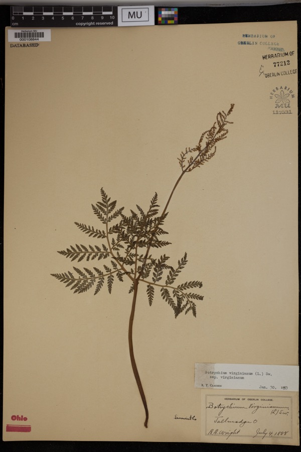
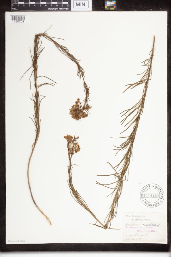
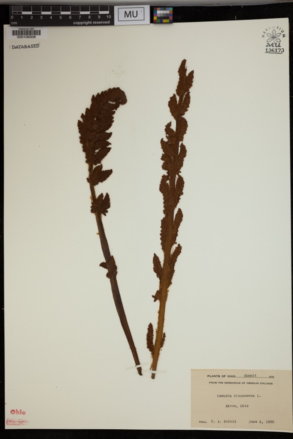
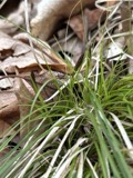
evidence. Museums hold 546 specimens
collected within 10 miles of East Liberty School, District No. 11 between 1867 and
1975: 459 Animalia, 43 Plantae, 42 Fungi, 1 Unrecorded, 1 Bacteria. 12 distinct Species records are shown.
Collected by (no collector listed), A. W. Cusick, A.E. Daugherty and others. Each is a
physical object with a catalogue
number, and each entry opens the museum's record. This is what was
collected and kept, not a survey of what lives here - nothing can be
concluded from a species being absent.
Regional context, not property-specific
evidence. The federal mineral resources record lists
12 workings within 5 miles of East Liberty School, District No. 11: 6 past producers, 4 producers, 2 plants.
6 still produce. What was taken out: Sand and Gravel, Construction, Stone, Crushed/Broken, Clay, Coal. Distance is straight-line from the
map coordinates, so a quarry counted here may appear on a neighbouring
settlement's page as well.
No historic map-sheet match is published
for this property yet. That does not mean no map exists. This record needs
a coordinate-quality review before it can be joined to a sheet boundary.
Browse the county's mapped places while that work is
pending.
Listed places nearby
6 within 8 miles
Other National Register properties close
enough to walk or drive between, ordered by distance from this one. Both
positions come from the same geocoding pass that matched these properties
to their map sheets.
Listing record. National Park Service National Register of Historic Places, listed-properties dataset, current to 2026-05-22.
Map join. Address geocoded through the United States Census geocoder, then tested against the published boundary of every sheet in the USGS Historical Topographic Map Collection.
How this page is made. Listing fields come from federal records; map-sheet coverage is a labelled coordinate-to-boundary calculation, not a source-field claim.
Specimens. Global Biodiversity Information Facility (GBIF), https://www.gbif.org/. Only records licensed CC0 or CC BY are used. Records licensed CC BY-NC are excluded because this site carries advertising. Images are checked individually and any whose licence is non-commercial, no-derivatives or unreadable is refused.
Mines and quarries. USGS Mineral Resources Data System (MRDS) https://mrdata.usgs.gov/mrds/ A work of the United States government, no copyright under 17 U.S.C. 105.
 Block
Block